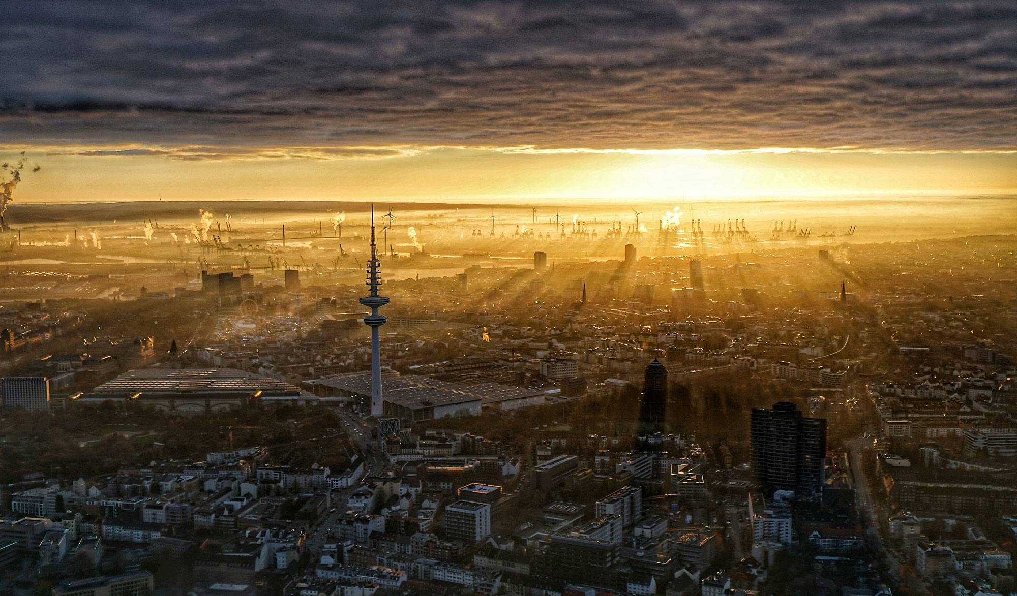
Panorama Test

Einstellungen:
The following parameters are used:

- container_height – Defines the height of the displayed frame (hence the container). If the image is higher than the given height, vertical scrolling (or dragging) is enabled. The unit is one pixel. There is also the parameter container_width in case you don’t want the frame to fill the horizontal space available in the post or page.
- mode – Specifies one of the following modes:
move,dragordrag360where move is the default mode and doesn’t have to be specified. The drag mode allows the user to navigate the panorama by dragging it inside the frame. The drag360 mode is similar, but generates the illusion of an vertically infinite image. This is useful for 360° panoramas where the user can turn around in each direction infinitely. - popup – If specified, enables a popup for enlarged view. The only valid popup type at the moment is
colorbox, which only works if the ColorBox plugin for jQuery is available. It is provided e.g. by the jQuery Colorbox plugin. You have to install this plugin separately to make use of the popup functionality. - animate – If this option is enabled, the panorama will be rotated automatically until either the user interacts with it (by scrolling in move mode or dragging in drag mode) or the image is scrolled through entirely once. This allows to attract the users attention to the additional functionality of the panorama compared to a simple, still image. Please note that the animation (like everything else) is accomplished using JavaScript and might not be 100% fluid on all systems and browsers.
Google Maps – Markers
Einfach Marker setzen mit Longitude und Latitude. Für Hamburg beispielsweise „53.549885, 9.93471“. Die Längen und Breitengrad-Angaben bekommt man am schnellsten über google.de/maps und dann unten links auf „Maps Labs“. Dort dann LatLng-Markierung oder LatLng-Kurzinfo aktivieren.
Google Maps in KML exportieren
Um eine Google Maps Karte in KML zu exportieren
- rufst Du (Deine) passende Karte – z.B. mit einer eingezeichneten Strecke – in Google Maps auf
- klickst auf “Link” rechts im oberen Mittel des Fensters
- kopierst Du den Link in die Zwischenablage
- fügst Du den Link in die Adressleiste ein
- fügst Du an den Link hinten ein
&output=kmlan - und drückst Enter
Dein Browser sollte jetzt eine KML Datei (Deiner) Karte downloaden
[google-map-v3 width=“500″ height=“350″ zoom=“12″ maptype=“roadmap“ mapalign=“left“ directionhint=“false“ language=“default“ poweredby=“false“ maptypecontrol=“true“ pancontrol=“true“ zoomcontrol=“true“ scalecontrol=“true“ streetviewcontrol=“true“ scrollwheelcontrol=“false“ draggable=“true“ tiltfourtyfive=“false“ addmarkermashupbubble=“false“ addmarkermashupbubble=“false“ addmarkerlist=“53.549885, 9.93471{}home.png{}home sweet home“ bubbleautopan=“true“ showbike=“false“ showtraffic=“false“ showpanoramio=“false“]
FontDragr.com
Gute Möglichkeit Schriften für Webseiten und dessen Wirkung im Browser zu testen.
Foto Gallery
Beispiellink:
Letzte Beiträge breiter
#secondary {
float: right;
margin-right: 7.6%;
width: 18.8%;
}

